





How to use a Forest Service MVUM to verify legal dispersed-camping access for an RV
Use a Forest Service Motor Vehicle Use Map to verify route designation, seasonal access, off-route camping allowances, current closures, and RV fit.

How to use a Forest Service MVUM to verify legal dispersed-camping access for an RV
A campsite pin beside a forest road is not evidence that an RV may legally drive there. The pin may sit on private land, beyond a seasonal gate, off a route closed to the vehicle class, or outside the corridor where motorized access for dispersed camping is allowed. A Motor Vehicle Use Map, or MVUM, answers part of that problem: it identifies National Forest System roads, trails, and areas designated for motor-vehicle use, including vehicle classes, seasonal allowances, and some off-route distance allowances.[1]
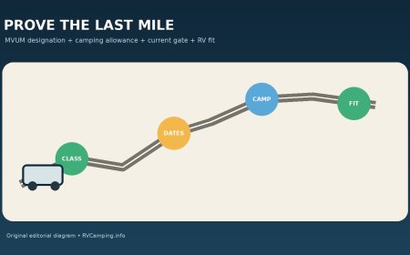
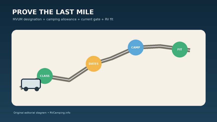
The MVUM is a legal-use map, not an RV road atlas. It does not promise clearance, grade, turnaround room, a firm surface, or a campsite. The Forest Service warns that a route shown open to a class of vehicle may still be unsuitable or poorly maintained for that vehicle.[1] For an RV, the workable method is to prove four things separately: the route is designated for the RV's vehicle class and date; motorized travel from the route to the site is allowed; camping itself is not barred by another rule or order; and the road plus site physically fit the rig.
Get the map for the right forest and district
Start at the webpage for the national forest that manages the intended site. Identify the ranger district, then download the current MVUM sheet for that district. Do not substitute a visitor map, a topographic basemap, a recreational app layer, or an older MVUM saved from a previous trip.
Federal travel-management rules require designated roads, trails, and areas to be identified on an MVUM. Those maps specify the vehicle classes and, where applicable, the times of year for which use is designated.[2] The same rules allow a responsible official to designate limited motorized travel away from certain routes for dispersed camping, but only when that allowance is included in the designation.[2]
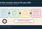
Record five identifiers before tracing the route:
- national forest and ranger district;
- MVUM edition or effective date;
- map sheet name;
- Forest Service road number, including every suffix;
- the date the RV will enter and leave.
A road name alone is weak identification. Local names change, similar names recur, and a numbered route can change designation at a milepost. Match the route number at every junction. If the app and the MVUM disagree, treat the app as a navigation aid and the MVUM as the source for Forest Service motor-vehicle designations.
Read the line, table, and margin together
Finding a line on the map is only the first step. Follow that line to the legend and any seasonal or special-designation table. The MVUM can distinguish roads open only to highway-legal vehicles from roads open to all vehicles, and it may assign different dates to separate parts of one route.[1]
Build a route row for every segment:
| Segment | MVUM route | Vehicle class | Dates allowed | Camping access symbol | Unresolved issue |
|---|---|---|---|---|---|
| Public-road approach | County or state number | Check road agency | Check current status | Not an MVUM question | Bridge or closure |
| Forest entrance to junction | NFSR number | Exact MVUM class | Exact table dates | None or shown | Surface and width |
| Junction to candidate area | NFSR number and suffix | Exact MVUM class | Exact table dates | Dots/table entry | Gate and turnaround |
| Off-route campsite access | Same route reference | Same allowed vehicle | Same open season | Distance and side | Existing track and dry ground |
Do not stretch one designation across a junction. A solid route may become seasonal, change vehicle class, or end while a thin basemap line continues. A road shown only as an informational connection may be under county, state, tribal, or private jurisdiction rather than Forest Service designation.
Find an explicit dispersed-camping motor-vehicle allowance
Legal travel on the road does not automatically authorize driving an RV off it. Look for the MVUM's dispersed-camping symbol, usually dots along one or both sides of selected routes, and read the associated table. The dots and table control where the limited off-route motorized allowance applies.
The details are local. Willamette National Forest says motorized dispersed-camping access may occur only where its MVUM indicates it; in designated areas, a vehicle may travel up to 300 feet from the road to reach an established campsite.[3] Umatilla National Forest also describes a 300-foot allowance on established routes for dispersed-campsite access, while telling visitors not to move or bypass gates, rocks, berms, or signs.[4] Those examples do not create a nationwide 300-foot rule. The distance, eligible roads, side of road, dates, and other conditions must come from the current MVUM and rules for the forest being visited.
Apply this test to the candidate site:
- Is the correct road specifically marked or listed for dispersed-camping access?
- Are the dots on the side where the site lies?
- Does the table give a maximum distance, and is the whole motorized path within it?
- Is the access for the same vehicle class and season as the road?
- Does the language require an existing or established campsite or route?
- Does the path stay on National Forest System land?
Measure from the reference the map defines, commonly the road centerline, rather than from the edge of a clearing. A straight-line measuring tool can screen out an obviously distant pin, but it cannot prove the driven path, land ownership, or site legality.
A legal route is not necessarily an RV route
The MVUM tells you where motor-vehicle use is designated. It does not certify that a motorhome, truck camper, or trailer can safely complete the drive. Forest Service guidance expressly separates legality from suitability.[1]
After the designation passes, run an RV fit check:
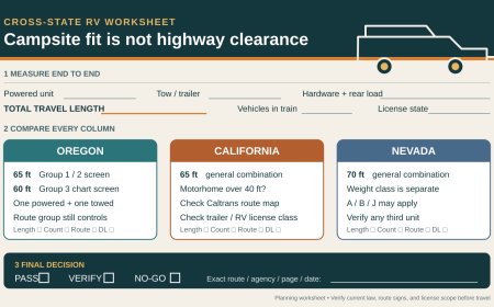
- loaded height, width, length, weight, rear overhang, and total connected length;
- road maintenance level and current surface report;
- steep grades, tight switchbacks, side slope, washouts, low limbs, and water crossings;
- bridge or culvert limits;
- space to pass oncoming traffic;
- a legal turnaround before every uncertain section;
- campsite approach angle, leveling range, slide and awning space;
- ground firmness under the tires and stabilizers;
- an exit that does not require reversing a long combination for miles.
"Open to highway-legal vehicles" does not mean "suitable for a 33-foot motorhome." A road can be legal but too narrow, soft, steep, or rough for the rig. It can also be physically easy while legally closed for the date or vehicle class. Both tests must pass.
Satellite images and crowd-sourced reports can help identify bends, vegetation, and recent user observations. They do not override the MVUM, a closure order, a gate, or a sign. Old imagery may also show an access track that has since been restored, blocked, or moved onto private land.
Check current orders and the gate after the MVUM
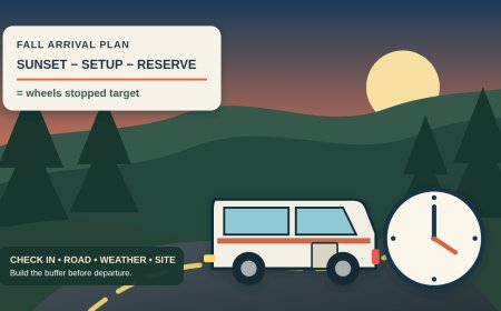
The MVUM is not the entire current-conditions system. Temporary or emergency closures can affect a route that remains designated on the map. Before leaving, check the forest's alerts, closure orders, fire restrictions, road-status page, and district contact information. Repeat the check shortly before departure.
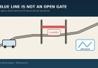
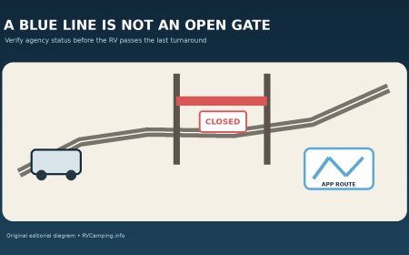
Use a closed or locked gate as a stop, even if the calendar date in your copy of the MVUM appears open. Do not drive around it, move rocks, cut a lock, or use an adjacent track to bypass it. Umatilla's visitor guidance expressly says not to move or circumvent barriers by motorized means.[4] A gate may reflect a temporary order, soft-road protection, fire activity, maintenance, or a seasonal schedule that changed with conditions.
If the map date, web status, and gate do not agree, stay out and contact the district. Save the route number, gate location, time, and a photo taken from a safe parked position. The useful question is specific: "Is NFSR 1234 from junction 567 to milepost 8 open today to a highway-legal vehicle towing a trailer, and is the MVUM dispersed-camping allowance on the east side currently in effect?"
Verify that camping is allowed, not only driving
An MVUM designation authorizes motor-vehicle use under the travel-management system. It does not by itself settle every camping rule. Check forest and district camping pages, current orders, stay limits, fire restrictions, food-storage rules, sanitation requirements, permit areas, and any location-specific setbacks. Confirm that the candidate is outside a developed site, day-use area, trailhead parking lot, closed area, private parcel, and any corridor where camping is separately prohibited.
Use parcel and agency boundary layers as clues, then confirm uncertain boundaries with the district. A national-forest-colored basemap can include inholdings. The fact that a road crosses Forest Service land does not make every clearing beside it public.
Plan for containment. Park only where allowed without blocking the traveled way, a gate, drainage, or another campsite. Keep wheels on the authorized motorized path and within the mapped allowance. If reaching the spot would require creating a track, widening a bend, breaking vegetation, crossing saturated ground, or pushing farther after the established access ends, reject the site.
Scout without committing the whole combination
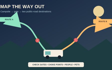
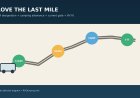
The best last-mile check happens in daylight, before the tow vehicle and trailer pass the final easy turnaround. A passenger can walk the uncertain portion where safe and legal. A tow vehicle may scout only if it is independently legal to drive and there is a legal place to leave the trailer; a wide shoulder or gate apron is not automatically storage.
Give the scout a written stop list: locked or signed gate, road narrower than the rig plus safe margin, no confirmed turnaround, deep rut, soft shoulder, low branch, washout, exposed culvert edge, water crossing of unknown depth, or occupied site. A campsite is not worth an improvised recovery.
Keep a Plan B on a separately verified route. It should be reachable before the final turnaround and should not depend on the same gate or damaged road. If the legal status or fit remains uncertain, use the fallback rather than turning uncertainty into a roadside decision.
Make a one-page access proof
Put the decision in a form another driver can audit:
- forest, district, MVUM sheet, and edition;
- route numbers and junction sequence;
- allowed vehicle class;
- seasonal dates for each segment;
- dispersed-camping symbol, table entry, side, and distance;
- current alerts and orders checked, with timestamps;
- land-status and camping-rule checks;
- RV dimensions and known road limitations;
- final turnaround and scouting point;
- district phone number;
- approved alternate.
Finish with one sentence: Use this site only if every MVUM segment remains open for the RV's class and date, the marked dispersed-camping allowance covers the full motorized approach, no current order or gate closes access, and daylight scouting confirms a safe turnaround and firm site.
That standard is stricter than following a pin. It should be. The MVUM establishes where motorized travel is designated; the rest of the worksheet establishes whether this RV can reach this campsite legally and get back out.
Sources
What's Your Reaction?