









Plan an RV route through highway work zones without guessing
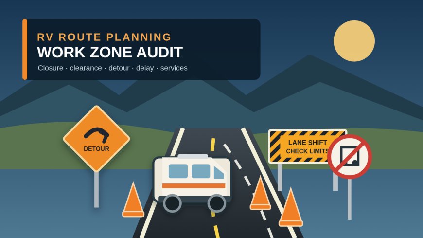
Audit active highway projects, closures, temporary dimensions, lane shifts, RV-suitable detours, delays and service stops before entering a work zone.

Plan an RV route through highway work zones without guessing
By Romana
Category: RV Camping
A highway can be open to cars and still be a bad bet for an RV. A shifted lane may be narrower than the coach. A signed detour may put a long combination onto streets that were never part of the original plan. The rest area chosen for a dump stop may be closed even though traffic is moving.
The fix is a short route audit tied to one rig, one direction and one departure window. Do it when planning, repeat it before departure, then check again at the last sensible place to wait or divert.
This guide includes a dated example for an I-5 trip through Oregon and Washington. It shows how to read official project pages and live traveler information together. It does not certify any route for a particular RV.
Start with a rig card, not a map pin
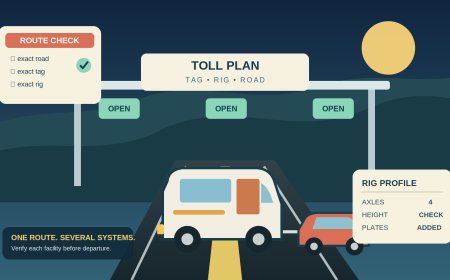
Write down the dimensions and ratings for the combination exactly as it will travel:
- overall height at the highest fixed item, measured with the RV loaded for travel;
- body width plus any fixed protrusions the manufacturer says to include;
- overall length from the front of the tow vehicle or motorhome to the rearmost point;
- vehicle and trailer GVWR, axle ratings and the latest loaded scale weights;
- number of axles, dual-wheel positions and towing configuration;
- fuel range and the services that cannot be skipped, such as a dump station, accessible restroom or diesel stop; and
- any permit conditions that apply to an over-dimensional or overweight vehicle.
Do not substitute a generic RV clearance number. Your air conditioner, suspension, tire size, hitch setting, cargo and tow setup belong to your measurement. Ratings and loaded weights are also different facts. Keep both.
The resulting card is the filter for every work-zone notice. A restriction matters because it intersects this card, not because a map paints the road orange.
Use three official views for every travel segment
FHWA describes 511 as a source of current travel conditions that helps travelers choose a time, mode or route.[1] That is useful, but it is only one view of the trip.
Open these three records for each state:
- The project page explains the planned construction footprint, long-running traffic pattern and announced detour.
- The state DOT or 511 road report shows active closures, incidents, restrictions and update times.
- The roadside instruction is what the driver must follow when conditions differ from the plan.
Save the project page and live report in the trip notes with the time checked. A screenshot is evidence of what the system displayed then; it is not permission to continue later. WSDOT's own travel-information disclaimer makes no promise that its web information is accurate, timely, complete or suitable to a traveler's circumstances.[5]
Give each work zone one audit row
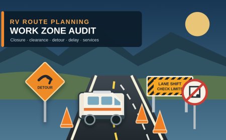
A practical row needs more than “construction ahead.” Use these fields:
| Audit field | What to record |
|---|---|
| Segment | Highway, direction, mileposts or interchanges |
| Active window | Start and end dates, days, hours and time zone |
| Project versus live status | Planned project phase and current 511/DOT alert |
| Closure | Mainline, ramp, shoulder or local access affected |
| Temporary limits | Posted width, height, weight, length or axle restriction |
| Traffic pattern | Lane count, crossover, shift, flagger or pilot car |
| Delay evidence | Agency estimate, live travel time, or “not stated” |
| Detour test | Exact route plus a fresh restriction check on every road used |
| Service effect | Rest area, dump, fuel, parking or campground access lost |
| Decision point | Last legal place where the full rig can wait or turn away |
| Recheck | Planning date, departure check and en-route check point |
Copy the agency's wording and scope. “Ramp closed” is not “interstate closed.” A width limit active at night is not a full-day restriction. An estimated completion date is not a promise that the cones will disappear that morning.
Worked audit: Oregon I-5, checked September 24, 2026
The Oregon TripCheck report showed several different problems on one corridor. Near Grants Pass, northbound I-5 from milepost 58.52 to 67.80 was listed with a 12-foot width restriction Sunday through Thursday nights, 7 p.m. to 7 a.m., with an estimated completion date of October 15, 2026.[2] The same report carried a separate southbound height entry at milepost 59.94 and a southbound width entry for mileposts 67.80 to 58.17.[2]
Those are not generic I-5 clearances. They are dated, directional work restrictions. The traveler compares the exact rig card with the entry that applies at the planned hour. A rig that is within an entry's stated limit still needs a current closure and incident check before moving.
Farther north, the Rose Quarter project created a different decision. ODOT's project page said southbound I-5 would close around the clock between I-405 and I-84 for up to five weeks beginning September 11. It said one southbound lane would remain available between I-405 and the Broadway/Weidler exit.[3] TripCheck named I-205 and I-405 as the primary detour routes and also listed overnight northbound lane closures in the area.[2]
A useful southbound audit row would read:
- Segment: I-5 southbound, Portland, Broadway/Weidler area to I-84.
- Closure: mainline closure in the stated project limits; local-access lane has a narrower purpose.
- Official detour candidates: I-405 or I-205.
- Expected delay: congestion is expected, but the cited live entry gives no dependable minute figure for this rig and departure time.
- Next action: compare live travel times, then run I-405 and I-205 through the same closure and dimension screen before choosing one.
That last step matters. “Primary detour” identifies the agency's traffic plan. It does not answer whether a particular exit, fuel stop or improvised connection suits a long RV combination. Keep the rig on the official detour unless an agency directs otherwise, and reject any navigation-app shortcut that has not passed the same dimensional and closure checks.
Check restrictions beyond the obvious mainline
TripCheck also displayed width and height notices around Portland and a weight restriction on OR 6 at the Devils Lake Fork Wilson River Bridge.[2] A traveler staying on I-5 may never touch OR 6. A traveler diverting to a campground, fuel stop or coastal route might.
This is why the audit follows every road, ramp and service access leg rather than searching only the interstate number. Record “not on route” after checking; do not silently ignore the entry. If a weight notice uses axle, tandem or gross-weight language, compare it with the corresponding value on the rig card. Do not collapse several limits into one homemade number.
Worked audit: Washington I-5, checked September 24, 2026
WSDOT's live I-5 alert data listed the Harvard Avenue on-ramp to northbound I-5 as closed until mid-October for the Ship Canal Bridge project. It also said the I-5 express lanes would operate northbound-only around the clock through the end of 2026 because of construction-related lane reductions.[4]
For a northbound RV, the audit should separate three questions:
- Is the mainline open through the planned segment?
- Is the ramp needed to join or leave that segment open?
- Does the lane pattern place the rig where its later exit remains reachable?
A “yes” to the first question does not answer the other two. Read the advance signs early, stay out of closed lanes and avoid last-second lane changes. If the correct ramp is closed, use the agency's current detour rather than a remembered city-street workaround.
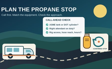
The same WSDOT feed carried an RV-specific service problem: the southbound I-5 Silver Lake Rest Area was closed for maintenance indefinitely, with no recreational-vehicle dumping available there.[4] Put that in the southbound service row, not in a separate someday checklist. Move the dump stop and break plan before entering the segment. Then verify that the replacement facility is open, reachable in the travel direction and suitable for the complete rig.
Audit lane shifts and narrow traffic patterns even without a posted width
A lane reduction can affect an RV without creating a numbered legal-width alert. For each active project, note:
- which lanes close and which remain open;
- whether traffic crosses the median or shares the opposite roadway;
- whether shoulders disappear;
- the position of temporary barrier, equipment and ramp tapers;
- reduced speed shown on the live page or roadside sign; and
- where the driver must be positioned for the next exit.
If the agency publishes no temporary width, do not invent one from a photo or map. The audit result is “no temporary width found in the cited notice.” For a close-fit or permitted rig, contact the state permit or project office and keep the reply with the route file. For an ordinary RV whose driver is not comfortable with the pattern, change the time or route.
Treat delay as a range only when the agency gives one
Delay fields invite fake precision. Use an agency's stated estimate when it exists and preserve the conditions attached to it. Otherwise record what is known: lane count, closure window, live travel time at the last check and whether queues are growing.
Add separate buffers for the things the traffic estimate does not cover:
- stopping before a closure to compare detours;
- a missed fuel, dump or rest stop;
- slower merging in a long or heavy combination; and
- reaching the campground before its latest arrival time.
If no official delay is published, write “not stated.” A made-up 20-minute allowance is worse than a visible blank because it looks like evidence.
Set three recheck points
At planning: save the project page, identify every work zone in both directions, screen temporary dimensions and mark candidate hold points. Check campground access roads too.
Before departure: refresh each state DOT or 511 report. Confirm the date, direction and active hours. Recheck the chosen detour and every planned service stop.
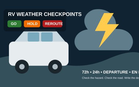
At the last decision point: stop somewhere legal and long enough for the connected rig. Refresh the live report, read message signs and compare the current pattern with the saved audit. If the closure changed, the needed service disappeared or the detour cannot be verified for the rig, wait or choose another route before entering the queue.
A completed row should end in one plain instruction: “For this connected rig, on this direction and date, use this segment during this window; if this alert is active, stop here and take this verified detour.” If the sentence still contains a guess about dimensions, access or service, the route is not ready.
Editorial note: Work-zone schedules, dimensions, detours, rest-area status and traffic conditions can change without matching a saved plan. Official sources were retrieved September 24, 2026. This article does not guarantee passage, replace roadside signs or law-enforcement direction, or claim a firsthand drive through the cited work zones.
Sources
- [1] Federal Highway Administration: About 511 (retrieved September 24, 2026).
- [2] Oregon Department of Transportation TripCheck: Statewide Oregon Road Conditions (live report retrieved September 24, 2026).
- [3] Oregon Department of Transportation: I-5 Rose Quarter Improvement Project (retrieved September 24, 2026).
- [4] Washington State Department of Transportation: live I-5 road-alert data (retrieved September 24, 2026).
- [5] Washington State Department of Transportation: Travel information disclaimer (retrieved September 24, 2026).
What's Your Reaction?